For the last few months, I’ve been exploring what my new Mavic Air 2 quadcopter can do. After getting over the sheer “wow” factor of playing with such amazing technology (half an hour of flight time, 4K video, 10km range, automation, etc), I started to wonder what else I could do with it. Enter drone mapping! Tools such as DroneLink and Open Drone Map allow you to create orthogonally-corrected, geo-referenced map images, various digital elevation maps, and even textured 3D models of any area you can get a quad-copter over.

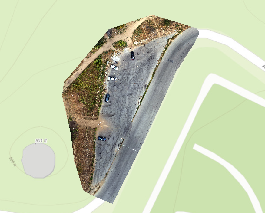
I started small with a parking lot not far from home. There is a certain fear that runs through me every time my Mavic lifts off… Will this be the flight that something goes wrong on? Will I see my $1000 investment back in one piece? Will local authorities hassle me? (For the record, every one of the below mapping flights was conducted according to safety regulations, with FAA tags, NOTAM checks, flight plans registered with LAANC, and other common-sense considerations).
To my relief, I got the drone back safe and sound. Even better, the map turned out great! While small, this parking lot represented lots of potential for further work. Time to scale up…
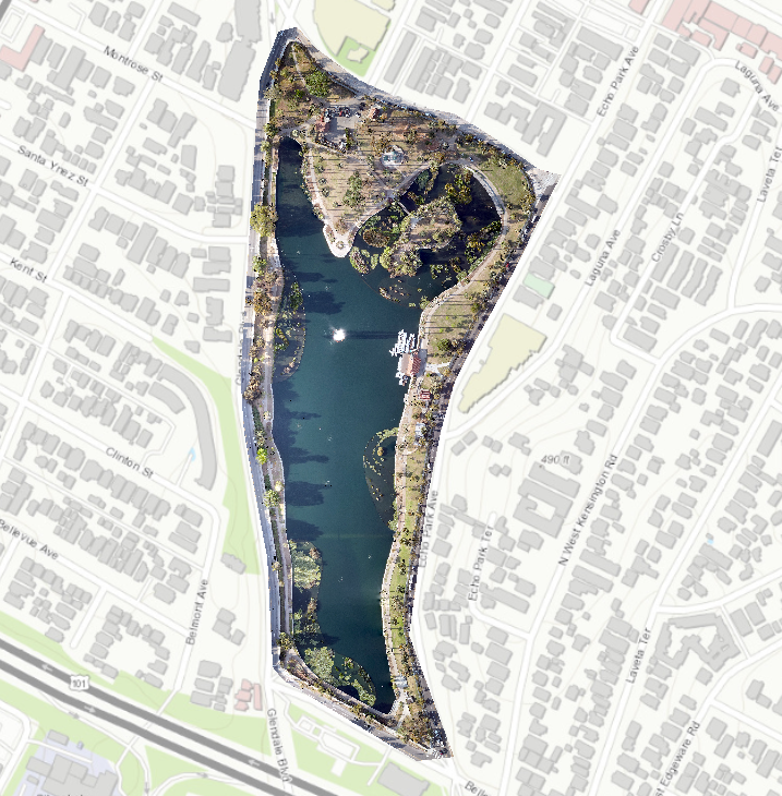
For round 2, I decided to step up my ambitions. A nearby lake has recently been closed to the public for renovations. The flight was conducted in the late afternoon to avoid flying over any workers, which created a mess of shadows (which created pixel errors difficult to see in the above zoomed-out image). An important lesson was learned that evening- overcast days are best for mapping.
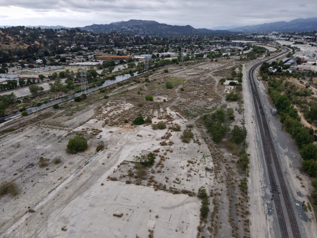
With a bit of experience under my belt, it was time for a real project. During previous flights, I had noticed a derelict lot next to the Los Angeles River. A bit of research revealed that this run-down plot of land had once been a trainyard but was now slated for redevelopment as part of the city parks program. LA Times had labeled it “the grittiest L.A. River path you’ve never heard of.” A large international environmental group had become involved with a native plant demonstration project in a similar lot next door. Everything screamed “potential!” I settled on modeling different development scenarios for the two plots, labeled G1 and G2, as a research topic. I’ll want to have comparable examples from other existing parks from which to base these projections. And I’ll need to handicap these projections with site-specific details to keep everything grounded in reality. Soooo…. let’s get to it!
This is still very much a project in development. A few mile markers so far:
12 May 2021 – Finalized flight plans for nearby comparable park (C2)
17 May 2021 – Finalized flight plans and mission parameters for G1, G2, and the next door comparable park (C1). Initial scouting of C1 (by foot and air) plus G1 and G2 lots (by air only).

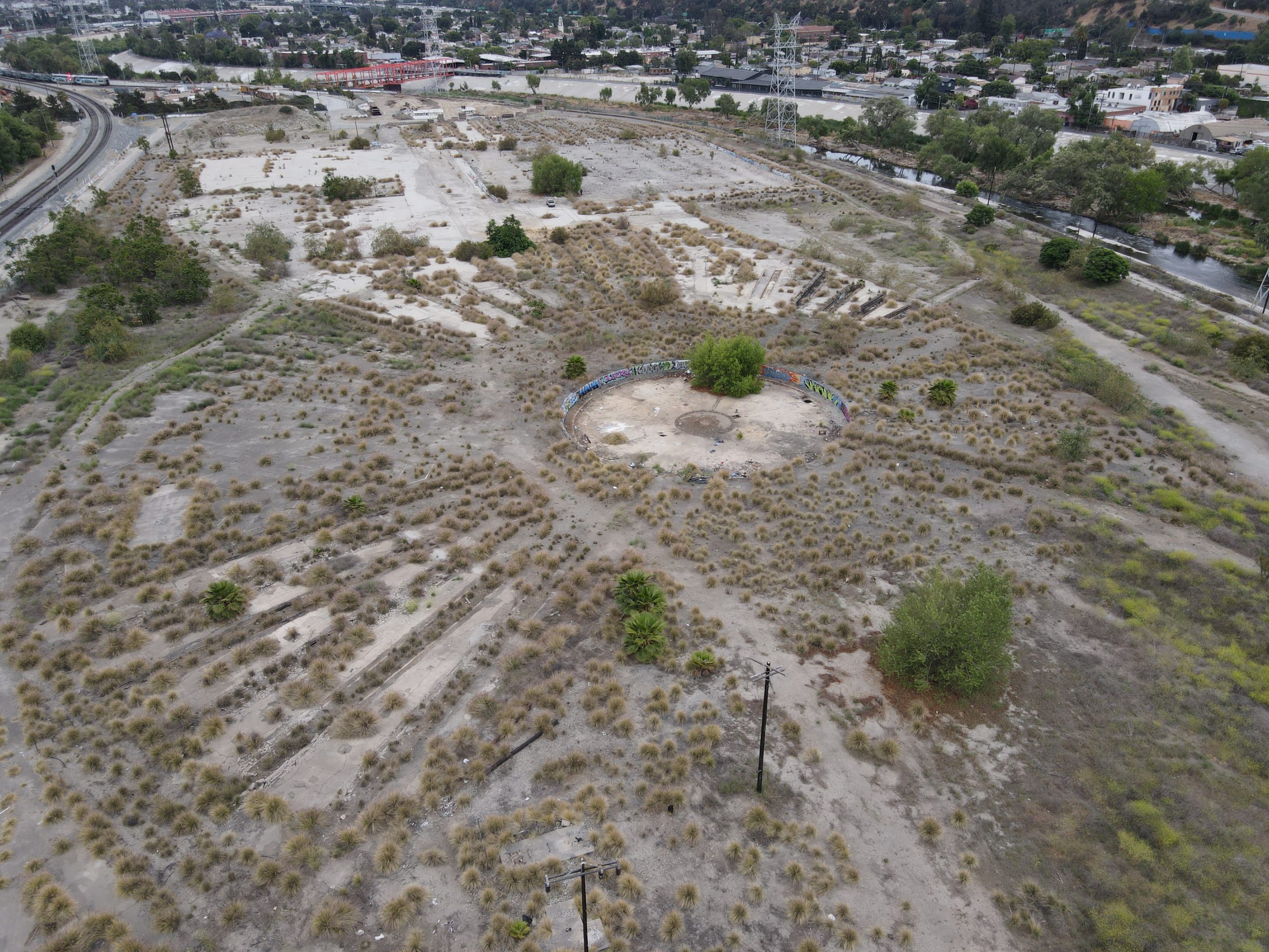
G1 
Detail of G2 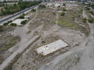
Detail of G2 
G2
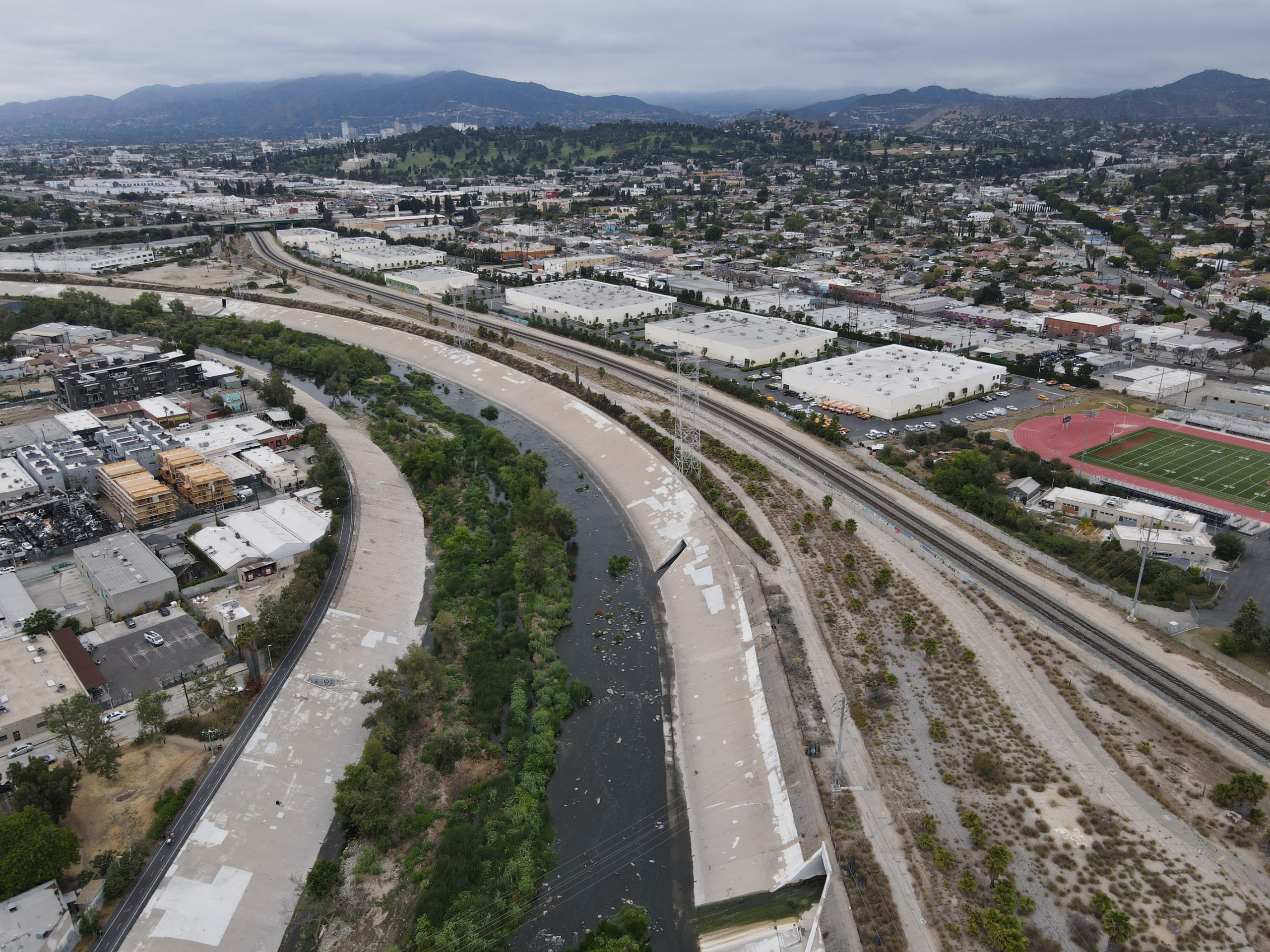

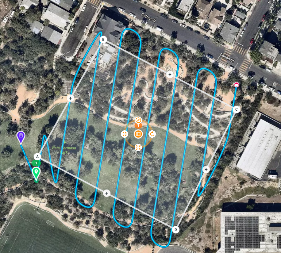
19 May 2021 – Conducted flights over C1 comparable park at 65 meters altitude. Changing light conditions may necessitate re-flying this area under more ideal overcast weather.

A plot of all the photos 
Orthorectified goodness 
Digital surface modeling 
C1 in Threeeee Deeeeeee!
2 June 2021 – Surveys of the main G1 and G2 lots competed. Each required 1000+ individual photos, mid-mission battery changes, additional angled passes, and hours of processing time on a powerful rented server in the cloud.
With Los Angeles weather clearing up by mid-morning most days, I came to enjoy the routine of waking up early, packing gear, breakfast, and coffee, then heading down to the river for a peaceful morning of flights. With the only surveying work left being a couple of small comparable park missions, I’m already nostalgic for this segment of the work.

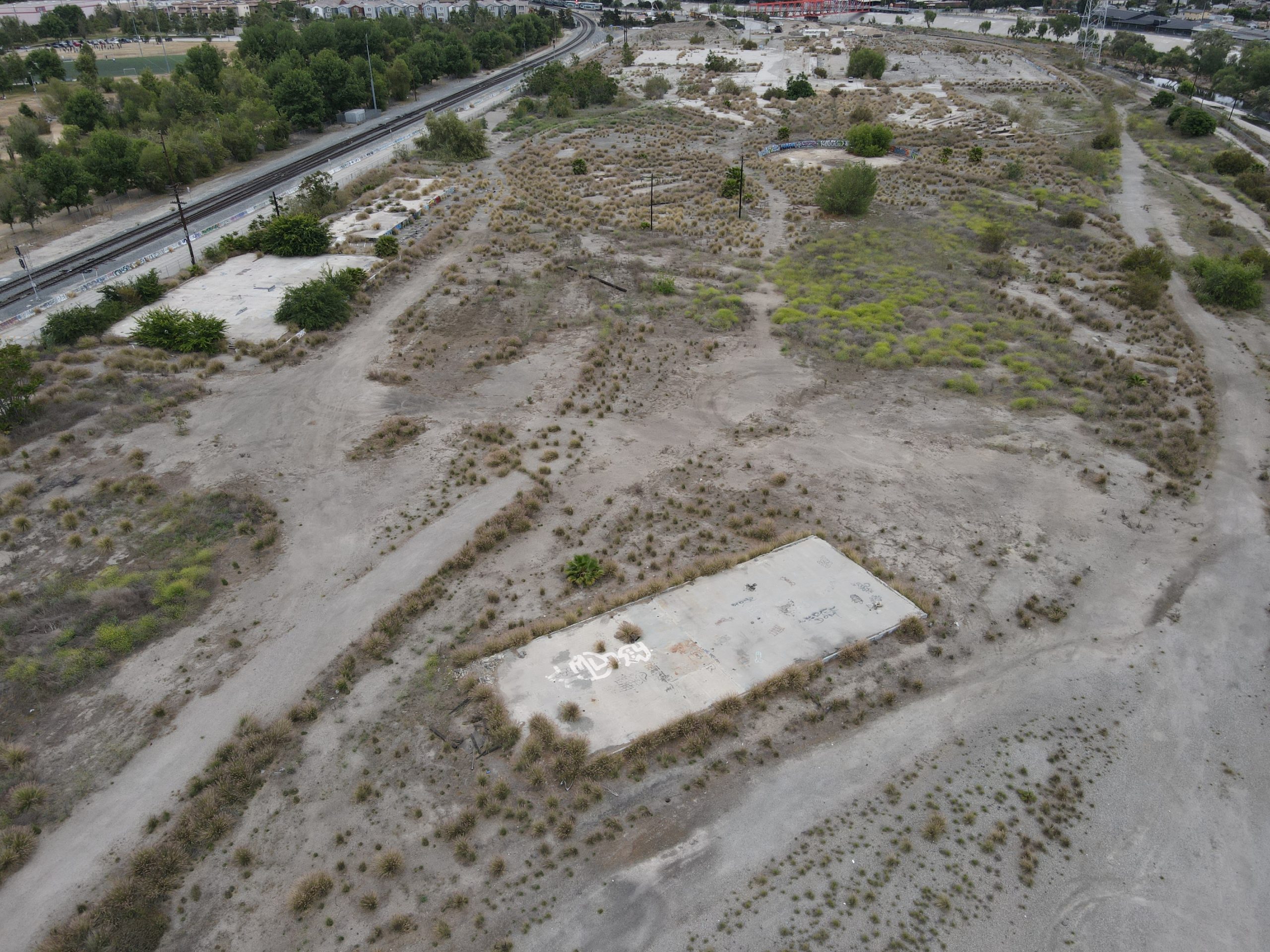
G2 Layout 
G1 Layout